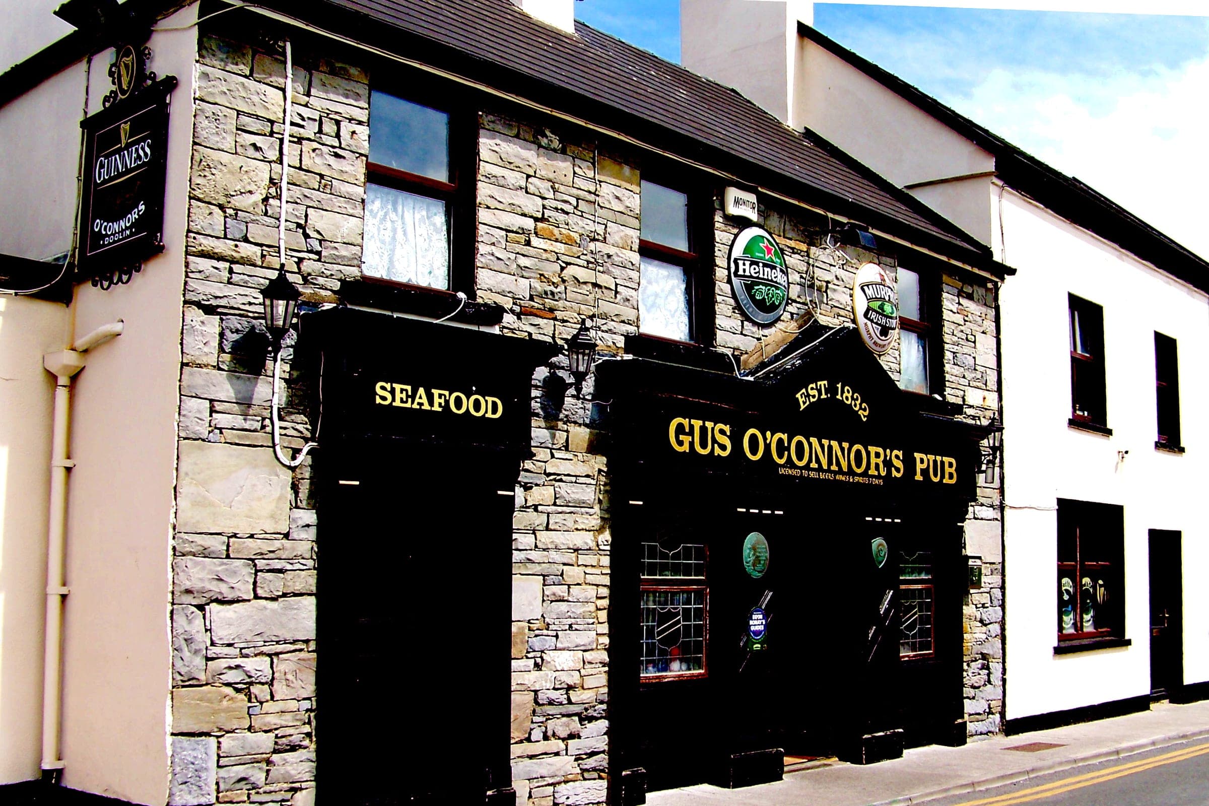
Doolin Guide
Ireland's traditional-music village, the usual ferry departure point for the Aran Islands, and the northern end of the Cliffs of Moher Coastal Walk.
A 7.3-metre stalactite underground, a landscape riddled with disappearing rivers, and a saltwater lough with its own tidal rapids — the unusual natural features most visitors drive straight past.
 By Ireland Spots Team
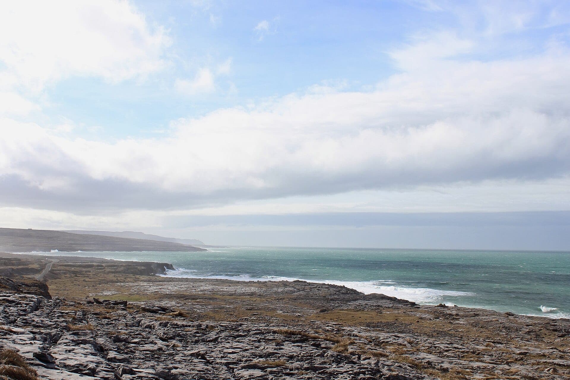
Photo: Notsmallworld / Wikimedia Commons (CC BY-SA 4.0)
Ireland's best-known landscapes are the ones already on every itinerary — the Cliffs of Moher, Killarney's lakes. Here's what's genuinely stranger, and mostly ignored by anyone not specifically looking for it.
Discovered by cavers in 1952, Doolin Cave is built around a single formation: a free-hanging stalactite roughly 7.3 metres long, among the longest of its kind anywhere in the Northern Hemisphere. Reaching it means descending more than a hundred steps into the cave's main chamber — a genuinely physical visit, not a casual walk-through, and unlike almost everything else on a typical Clare itinerary. See our Doolin Guide for current tour times.
A short drive from Doolin, in the heart of the Burren near Ballyvaughan, Aillwee Cave was only discovered in 1944, by a local farmer following his dog into a hillside opening. Guided tours run through chambers carved by glacial meltwater forcing through cracks in the limestone during an early ice age — the same underlying process that gives the Burren its bare rock surface above ground. Full detail is in our Burren Guide.
The Burren's limestone is karst — porous rock that rainwater dissolves over centuries — which is why the region has so little surface water despite genuinely wet Irish weather. Rivers vanish into the rock and reappear elsewhere, and turloughs (seasonal lakes) fill and empty with the water table rather than staying at a constant level. It's a landscape that looks barren from above and is honeycombed with exactly this kind of hidden plumbing underneath.
In West Cork, near Skibbereen, Lough Hyne looks like an ordinary lake but is genuinely marine — connected to the Atlantic by a narrow channel that creates real tidal rapids as seawater forces through at the turn of the tide. It was designated Ireland's first Marine Nature Reserve in 1981 and has been studied by marine biologists for well over a century. See our Cork Nature & Outdoors guide for the walk up neighbouring Knockomagh Hill.
Doolin Cave and Aillwee Cave sit close together in and around the Burren in County Clare, so those two combine easily into one day. Lough Hyne is in West Cork, a separate trip rather than an add-on to a Clare itinerary — treat this as two short routes, not one long one.
The Burren's limestone is karst — porous rock that rainwater dissolves over time — so most of the region's water runs underground through caves and disappearing rivers rather than across the surface in streams, which is also why it has turloughs (seasonal lakes) that appear and vanish with the water table.
It's a genuinely marine lough, not a freshwater lake — connected to the Atlantic by a narrow channel that creates real tidal rapids as water forces through at the turn of the tide, which is part of why it's been studied by marine biologists for more than a century.
Practical details last verified 5 November 2026.
Ireland's traditional-music village, the usual ferry departure point for the Aran Islands, and the northern end of the Cliffs of Moher Coastal Walk.
Ireland's karst landscape of bare limestone pavement, ancient tombs and plants found nowhere else together — what the Burren actually is and how to see it.
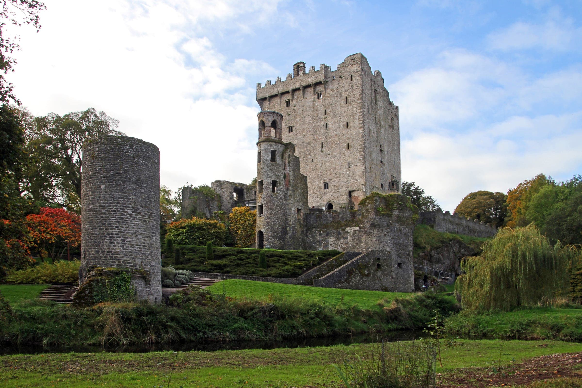
A glacial valley forest park, 300 hectares of old oak woodland, and Ireland's first marine nature reserve — Cork's natural side, well beyond the city centre.